Democratic Republic of Congo Weather, climate and geography
Weather and climate
Best time to visit
Varies according to distance from the equator, which lies across the north of the country. The dry season in the north is from December to February, and in the south, April to October. The temperature is warm year round and humidity is high.
Required clothing
Lightweight clothes are recommended all year, with rainwear during the rainy season.
Geography
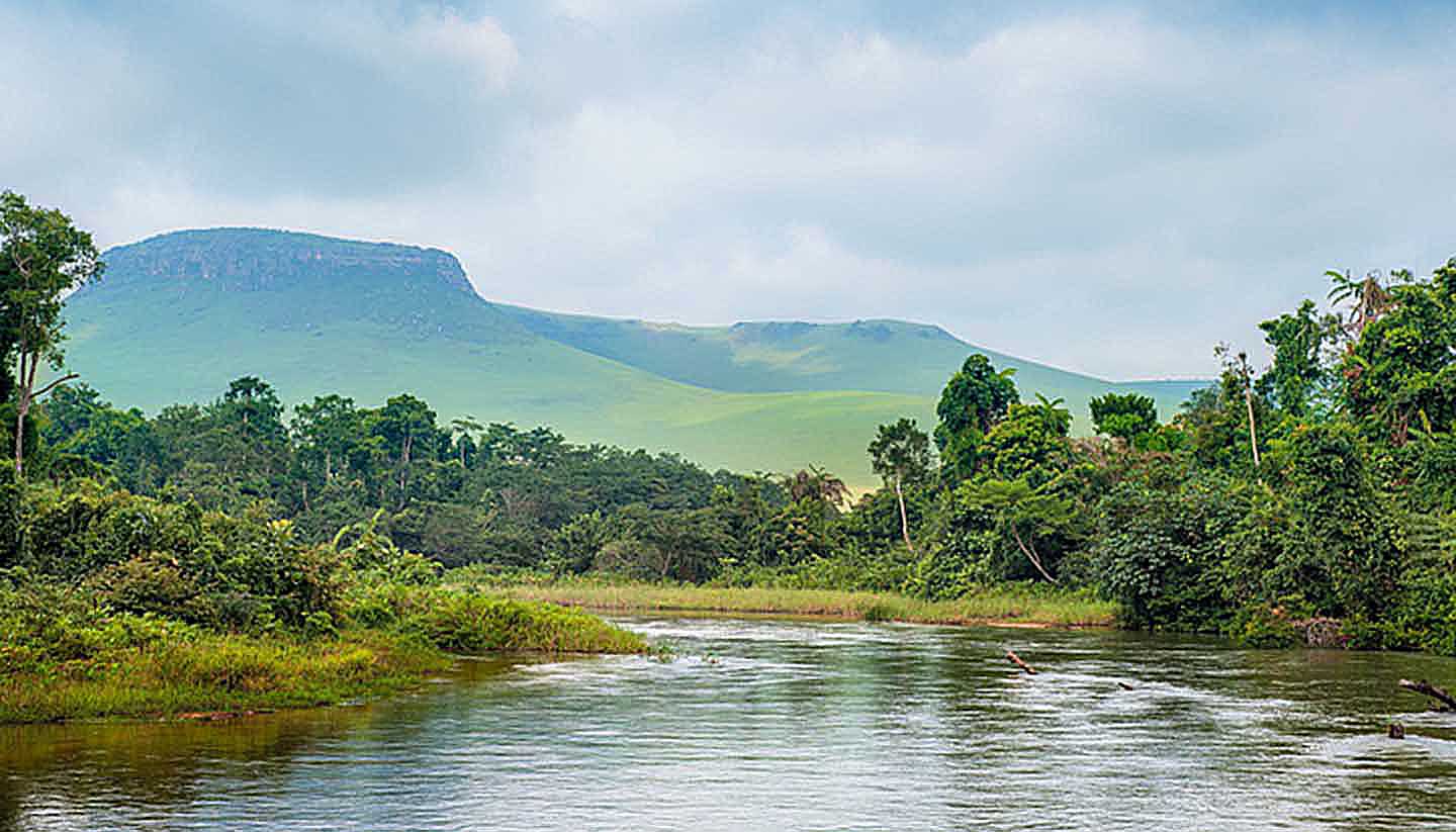
The Democratic Republic of Congo is the third-largest country in Africa and is bordered to the north by the Central African Republic and Sudan, to the east by Uganda, Rwanda, Burundi and Tanzania, to the south by Zambia and Angola, and to the west by the Republic of Congo and the Angolan enclave, Cabinda. The country has a coastline of only 27km (17 miles), at the outlet of the Congo River, which flows into the Atlantic. The country straddles the equator and has widely differing geographical features, including mountain ranges in the north and west, a vast central plain through which the Congo River flows, and the volcanoes and lakes of the Kivu region. The river has given rise to extensive tropical rainforests on the western border with the Republic of Congo.


